


 |
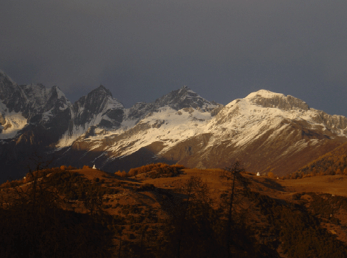
The most prominent feature resulting from the India-Eurasia continental collision is the Tibetan Plateau, which is an immense upland, ca. 3500 by 1500 km in size, at an average elevation exceeding 5000 m. Over the last three decades much of the plateau has been examined through multidisciplinary studies, but a key area for understanding the physical mechanisms that control the deformation of the Tibetan plateau is the Longmen Shan, a range which remains poorly studied.
Located between the eastern margin of the Tibetan plateau and the Yang Tse craton, this mountain range yields specific features. Similarly to the Himalayas, the Longmen Shan (1) has a sharp geomorphic expression, (2) is carried over a major thrust characterized by important seismicity, and (3) exhibits a hydrographic network characterized by rivers cutting through it. Several major differences, nevertheless, exist between these two mountain ranges, in particular the Longmen Shan is characterized by the lack of a well-developed foreland basin may be associated with the lack of continental subduction, it is not a major orographic barrier as is the case for the Himalayas (this is due the orientation of the range with respect to the jet stream) and finally GPS data document low shortening rate through the range (~ 4 mm/yr for the Longmen Shan vs ~20 mm/yr for the Himalayas of central Nepal) (Zhang et al., 2004). Hence, in spite of such differences, why do both ranges exhibit similar geomorphic expressions? |
| The observed steep sloping topography of the eastern plateau margin has been proposed to be the direct result of crustal thickening by weak, mid to lower crustal material evacuated from beneath the central plateau (Burchfiel et al., 1995). The associated flux of this weak material suggests how crustal thickening along the eastern plateau has occurred despite a lack of significant shortening observed in the upper crust. This channel flow model requires a low viscosity in the mid to lower crust for the Tibetan plateau and a rigid Yang Tse craton. An alternative possibility for the observed topography is that uplift is Tertiary in age and that shortening stopped even more recently. In this case, the modern topography would be inherited and not balanced rather than dynamically maintained by stress due to the flow of weak material in the mid to lower crust. Measurements and data necessary to discriminate between these two end-members models are lacking, as the eastern margin of the Tibetan plateau remains poorly studied, in particular data documenting the crustal structure of the Longmen Shan at depth and its geomorphic development.
In this project, we propose to use the Longmen Shan region as a natural laboratory in which to investigate two unresolved, fundamental questions
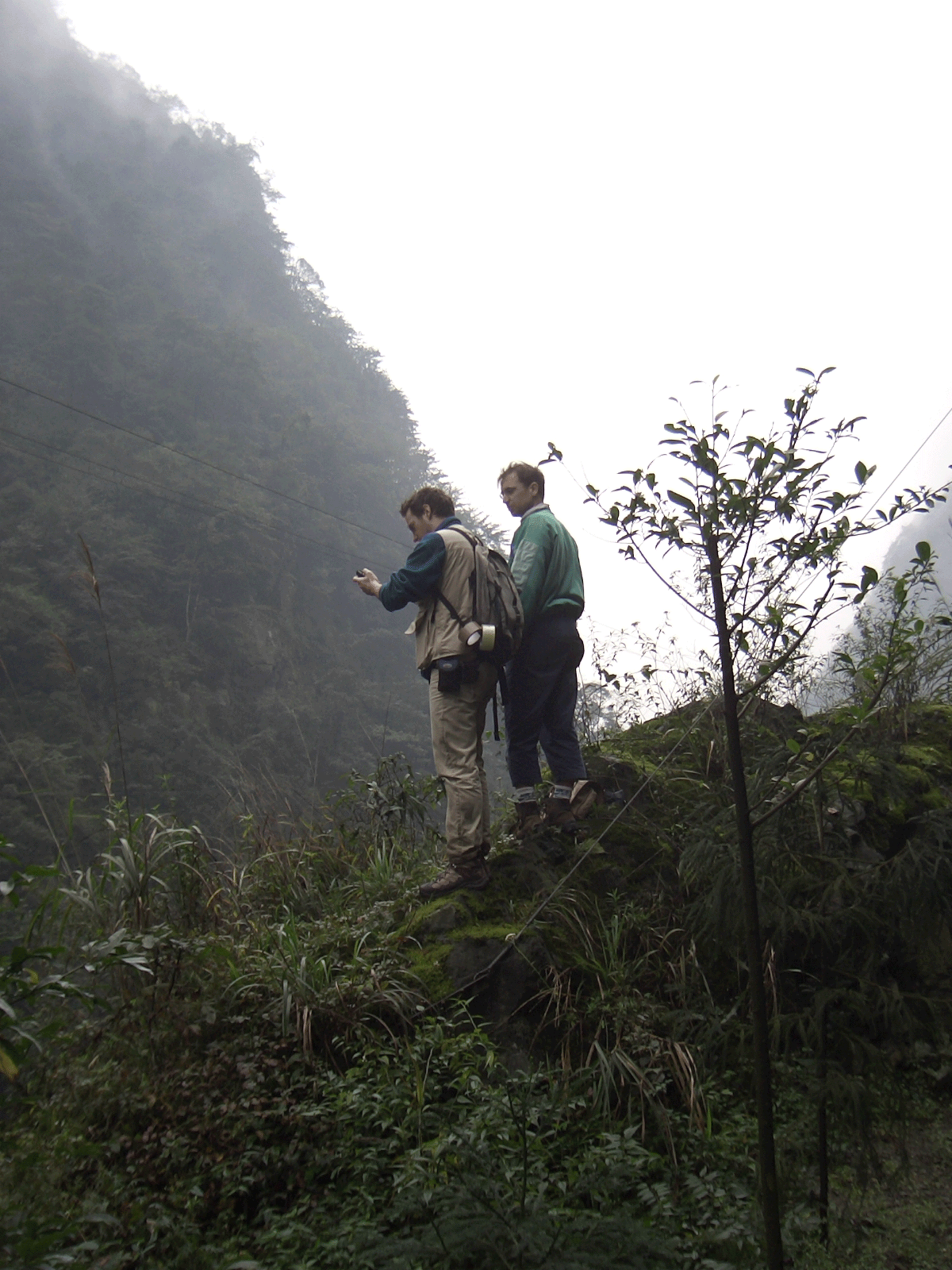
Our research needs coupled petrologic, structural, geochronologic, geomorphic, seismic and modeling approaches to collect, process and integrate the data sets required to address these scientific questions. Our work will also integrate data collected during recent and ongoing studies in the same area.Documenting the timing and the distribution of deformation in the Longmen Shan area, will help to understand the differences and similarities observed along the southern and eastern borders of the Tibetan plateau. |
 |
|
Many results can be expected, including
Ulimately, |
|
|
O. Beyssac
ENS, France
|
R. Cattin
ENS, France
|
I. Coutand
PBDS , France
|
M.-P. Doin
ENS, France
|
S. Duchêne
CRPG, France
|
V. Farra
IPGP, France
|
V. Godard
ENS, France
|
C. Lasserre
ENS, France
|
J. Lavé
LGCA, France
|
C. Lung Sang
HKU, China
|
 |
 |
 |
 |
 |
 |
 |
 |
 |
 |
| S. Mu Chengdu, China | R. Pik CRPG, France |
M. Pubellier
ENS, France
|
J. de Sigoyer ENS, France | O. Vanderhaege G2R, France | J. Vergne ENS, France | I. Villa Berne, Suisse | G. Wittlinger EOST, France | X.W. Wu HKU, China | J. Zhu Chengdu, China |
|
 |
 |
 |
 |
 |
 |
 |
|
|