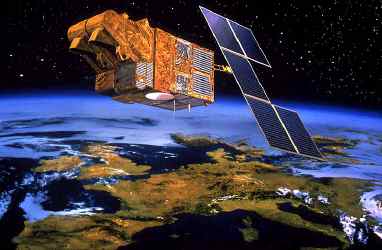
The SPOT program aim is to acquire images of the Earth surface in close to visible wavelenghts. Those images give plenty of informations on the ground surface : vegetal layer, water containts, type of outcropping rocks, etc... Stereoscopic couple of images (2 images acquired on the same place but with different vue angles) give access to the topography. Those images are extremely usefull to map faults and geologic structures which mark the landscape.
More information on the SPOT programm at CNES: SPOT.
More information on SPOT data at SPOT Images